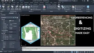
Generate Elevation Grids at Regular Intervals Using Civil 3D
In this informative tutorial series, we'll dive into the process of generating gridded elevation data at regular intervals from a 3D surface model within the AutoCAD Civil 3D software environment. As civil engineers, surveyors, and GIS professionals, the ability to create and manipulate gridded terrain data is essential for a wide range of applications, including terrain analysis, hydrological modeling, and data visualization.
Learn the step-by-step methods to create and configure a surface model, define the desired grid intervals and extents, and leverage Civil 3D's powerful tools to generate the gridded elevation data. Discover how to export the data in various formats, such as CSV or XYZ, for seamless integration with other software platforms and geospatial analysis tools.
Whether you're new to Civil 3D or looking to enhance your existing skills, this channel will provide you with the knowledge and expertise to efficiently generate and manage gridded elevation data for your infrastructure, environmental, or urban planning projects.
Subscribe now and unlock the full potential of AutoCAD Civil 3D for your terrain data processing needs!
0:00 Introduction
0:13 Launch and Display Surface Created
0:35 Edit Point Display Properties
0:51 Generate Regular Grid
1:16 Edit Point Styles
1:45 Edit Point Label Styles
2:14 Preview Exported Points
На этой странице сайта вы можете посмотреть видео онлайн Generate Elevation Grids at Regular Intervals Using Civil 3D длительностью часов минут секунд в хорошем качестве, которое загрузил пользователь Nexxis Tutorials 02 Октябрь 2021, поделитесь ссылкой с друзьями и знакомыми, на youtube это видео уже посмотрели 339 раз и оно понравилось 13 зрителям. Приятного просмотра!